Bukhansan Baegundae Day Hike from Seoul: Course, Transport, Trail Controls, Safety
Plan a Bukhansan hike to Baegundae from Seoul: compare routes, trailhead details, transport caveats, parking, fees, controls, and safety tips.
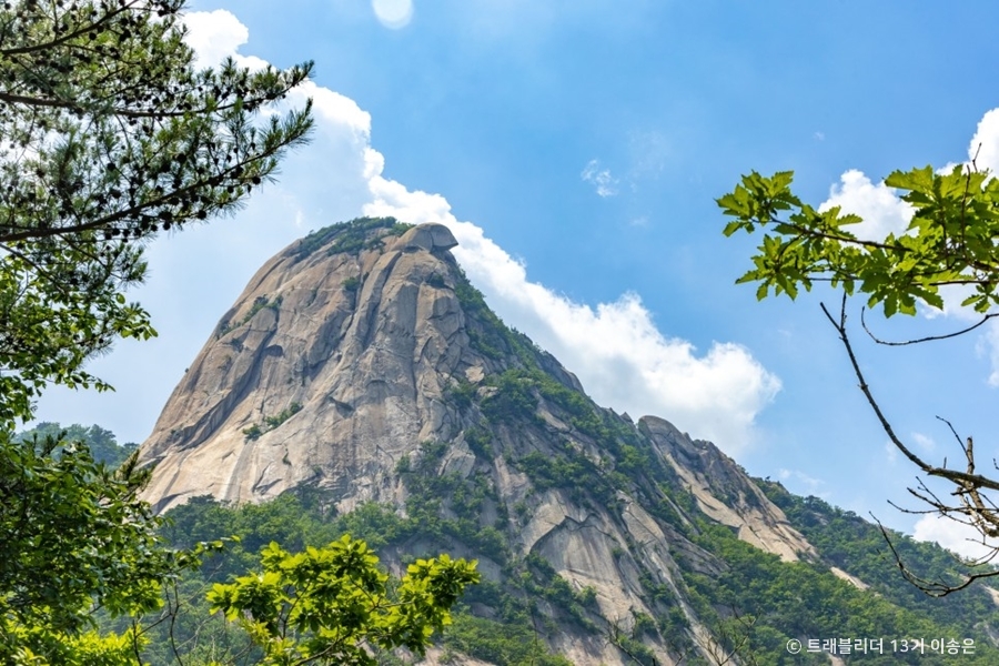
Bukhansan Baegundae is close to Seoul, but it is not an easy stroll
Bukhansan is one of the easiest national parks to reach from Seoul, which is why many hikers choose Baegundae for their first Seoul hike. The key point is simple: even if the course looks short on paper, the final stretch has rocky footing and steep climbing. On weekends, you may also have to wait near the summit.
If this is your first time, check three things before you leave:
- Whether any trails are closed today
- The entry-time control system and latest allowed entry time
- Whether your destination is really “Baegun Hiking Support Center”
If you casually enter only “Bukhansan National Park” in a map app, you may end up at a different entrance. If Baegundae is your goal, enter the exact trailhead.
Why Bukhansan is famous
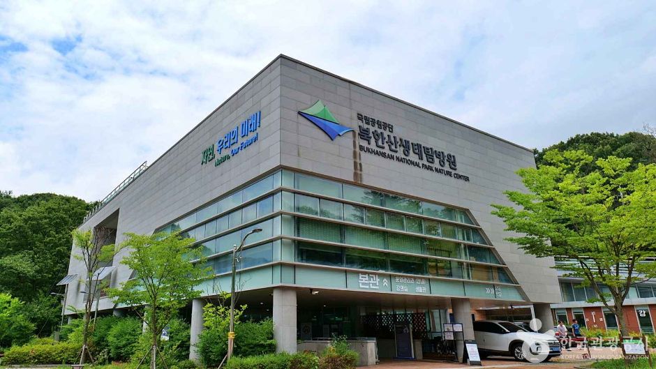 Photo: © 한국관광공사 (Korea Tourism Organization)
Bukhansan National Park is an urban national park designated in 1983. The Korea National Park Service lists the park area as 76.922㎢ and explains that Uiryeong Pass divides it into the Dobongsan area to the north and the Bukhansan area to the south.
Korea Tourism Organization materials introduce it as a park that covers both Bukhansan and Dobongsan. The main peak heights are listed as Baegundae at 835.6m, Insubong at 810.5m, and Mangyeongdae at 799.5m.
Recommended target: Baegundae
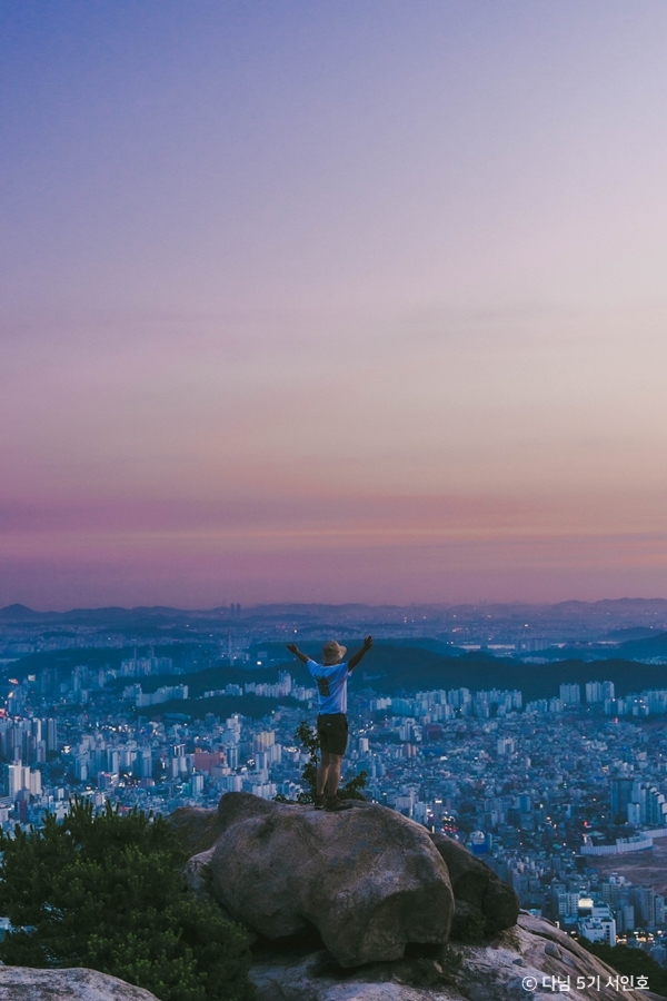 Photo: © 한국관광공사 (Korea Tourism Organization)
Baegundae is the representative destination for reaching Bukhansan’s highest peak. For most visitors, the choice comes down to two main routes.
1) Bukhansanseong Course: longer, but classic
The Korea National Park Service lists the Bukhansanseong Course in this order:
- Bukhansanseong Hiking Support Center
- Daeseomun
- Borisa
- Baegundae
Basic information:
- Distance: 3.4km one way
- Estimated time: 2 hours 40 minutes
- Difficulty: medium
- Starting point: Bukhansanseong Hiking Support Center
- Starting point address: 45 Daeseomun-gil, Eunpyeong-gu, Seoul
This is presented as a representative course that passes fortress gates and valley scenery before climbing to Bukhansan’s highest peak. Nearby parking is available at Bukhansanseong Parking Lot 1 and Parking Lot 2.
2) Baegundae Course: shorter and more direct
The Korea National Park Service lists the Baegundae Course in this order:
- Baegun Hiking Support Center
- Harujae
- Baegun Shelter
- Baegunbongammun
- Baegundae
Basic information:
- Distance: 1.9km one way
- Estimated time: 1 hour 30 minutes
- Main trailhead: Baegun Hiking Support Center
- Address: 462, Samyang-ro 173-gil, Gangbuk-gu, Seoul
- Coordinates: 37.657656, 126.990944
In the Service’s transport and starting-point data, no separate nearby parking lot was captured for this Baegundae Course. If you plan to drive, check the parking situation in a map app on the day you go.
Section-by-section feel: do not underestimate it because it is short
The detailed Baegundae Course sections shown on the Service page are:
- Ui Police Substation → Doseon Plaza: 2.0km / 30 minutes
- Baegun Hiking Support Center → Harujae: 0.8km / 30 minutes
- Harujae → Baegun Shelter: 0.6km / 40 minutes
The Baegundae side has many rocky sections, and the steep climb begins below Baegundae. On weekends, crowds can slow the final approach to the summit. Plan around both your stamina and the time of sunset.
Transport: do not treat this as a confirmed Baegundae route yet
The Baegundae trailhead confirmed for this guide is Baegun Hiking Support Center.
- Korean name: 백운탐방지원센터
- Address: 462, Samyang-ro 173-gil, Gangbuk-gu, Seoul
- Coordinates: 37.657656, 126.990944
For foreign visitors, the safest approach is to search for the Korean name exactly as written in Naver Map or Kakao Map.
VisitSeoul gives one access example for Bukhansan National Park: take Subway Line 5 to Gwanghwamun Station Exit 2, transfer to bus 1020, get off at Bukhansan National Park Entrance, then walk 132m. Treat this only as an example of general park access. Do not use it as a confirmed route to the Baegundae trailhead.
Before you go, recheck the latest public-transport route to “백운탐방지원센터” or “462, Samyang-ro 173-gil, Gangbuk-gu, Seoul” in Naver Map or Kakao Map.
Fees and parking
VisitSeoul lists admission to Bukhansan National Park as free. Fee information can change, so check the current details before your hike.
The Korea Tourism Organization lists Bukhansanseong Parking Lots 1 and 2 and Jeongneung Parking Lot as available parking areas. The parking-fee table in the same material is:
- Light car: first 1 hour 500 won, then 100 won per 10 minutes, 5,000 won for 9 hours or more
- Small and medium cars: first 1 hour 1,100 won, then 300 won per 10 minutes in peak season or 250 won in off-season, 13,000 won for 9 hours or more
- Large car: first 1 hour 2,000 won, then 500 won per 10 minutes in peak season or 400 won in off-season, 20,000 won for 9 hours or more
Important: this parking information is for the Bukhansanseong and Jeongneung sides. The Baegun Hiking Support Center data did not show a separate nearby parking lot. If you are taking the Baegundae Course, do not assume you can park near the trailhead; check on the day.
Trail-control check: this is not optional
The Korea National Park Service course page tells hikers to check the entry-time control system and trail-control status before hiking.
At the time this brief was written, the Service control table showed Bukhansan as “partial control,” with a reference time of June 14, 2026, 17:10. The detail page explained that after the heavy-rain advisory was lifted, one trail section would remain partially controlled for safety reasons until a separate notice. In the same control list, Bukhansan-Dobong was also shown as “partial control,” with a reference time of June 14, 2026, 17:17.
This information is time-sensitive. Check it again before departure. After rain in particular, treat trail controls and slip risk conservatively.
Safety: pack simply, decide conservatively
The Korea National Park Service notes that the Baegundae Course has many rocky paths and that a steep slope begins below Baegundae. It recommends hiking shoes and poles, and says crampons are needed in winter because there are many icy sections.
No-entry zones around Baegundae have a high fall risk. Stay on designated trails. This is not a place to step over the line for a photo.
Bring or prepare:
- Hiking shoes
- Poles
- Crampons for winter hikes
- A descent plan that gets you down before sunset
- A check of trail controls and entry times
Who this hike suits
Recommended for:
- People who want a day hike from Seoul
- People who want a short but definite summit route
- People who are comfortable with rocky paths and steep slopes
Not recommended for:
- People who dislike weekend crowds
- People who want to avoid exposed-feeling summit areas
- People who plan to choose the entrance and transport route casually
Even though it is a short hike, Baegundae is not a “nearby walk.” Enter the exact trailhead, check controls, and bring the right gear. Those three steps alone will greatly reduce the chance of your first Bukhansan hike going wrong.