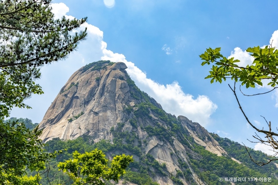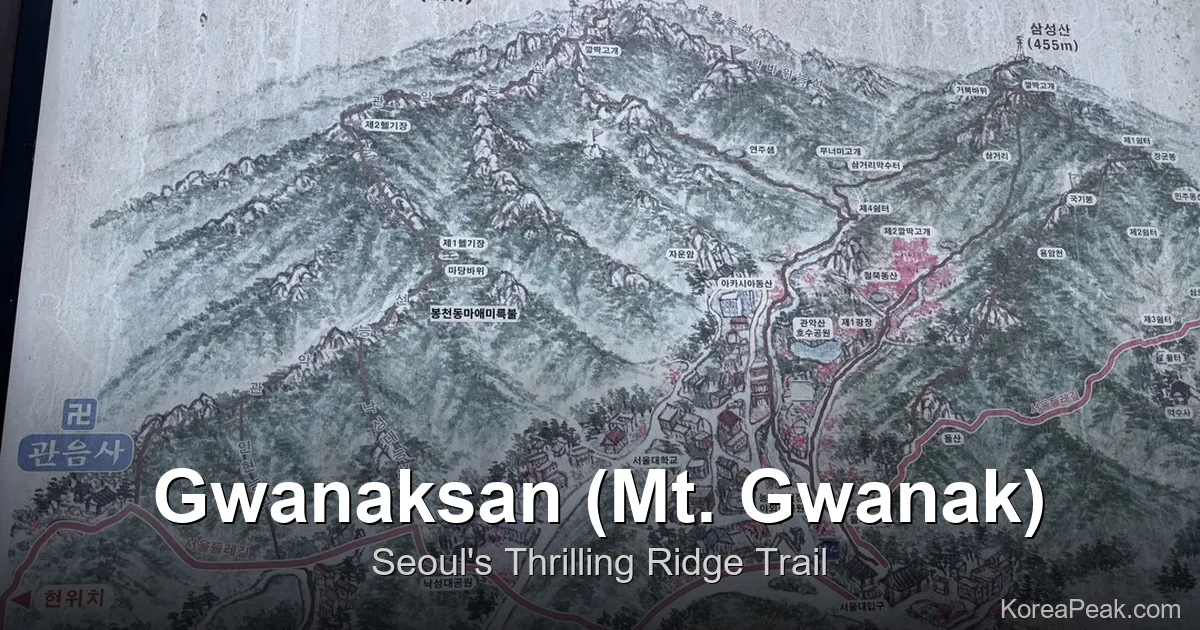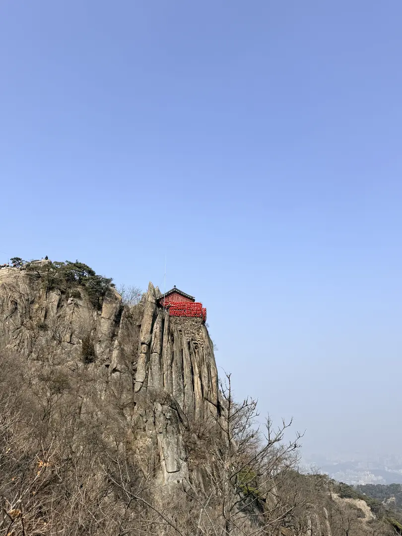
Gwanaksan Hike from Seoul National University Station
Sillim Line to Gwanaksan Station, Exit 1, then walk 50 m. The 632 m peak that's the easiest of Seoul's serious mountains. 3.5-5 hours round-trip.
Routes, transit, and the details guidebooks skip.
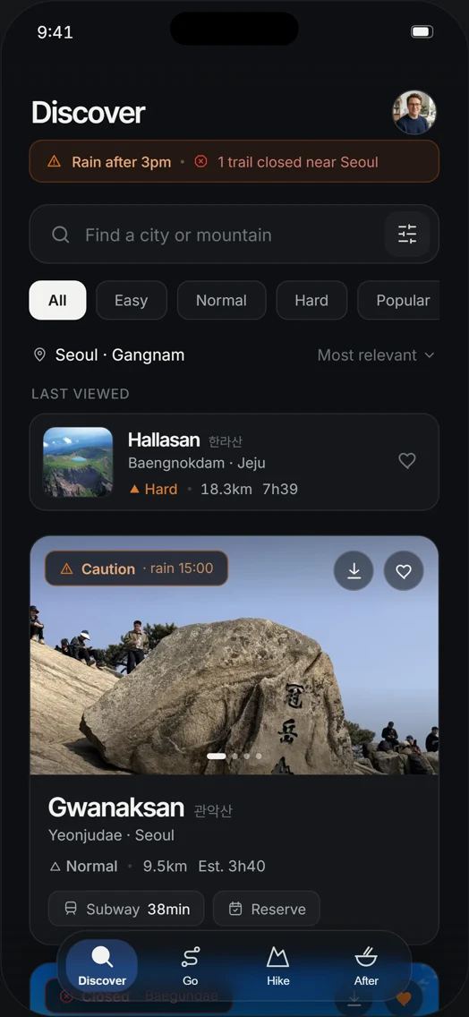
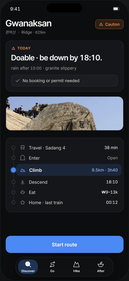
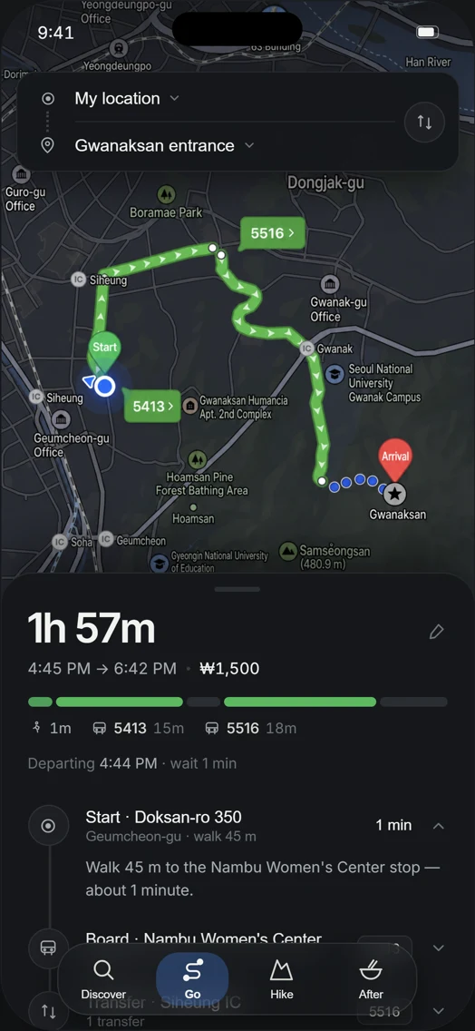
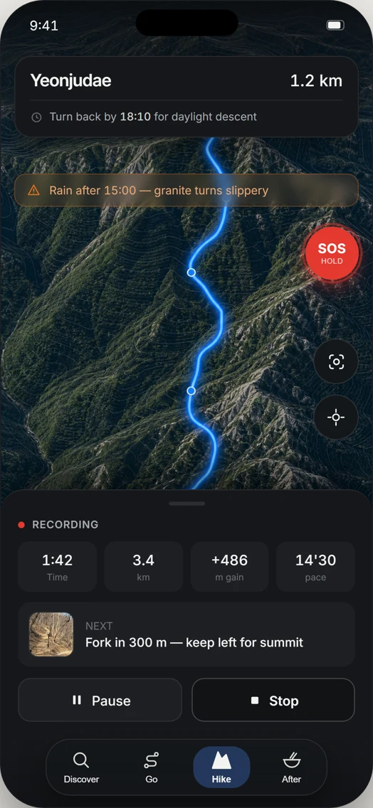

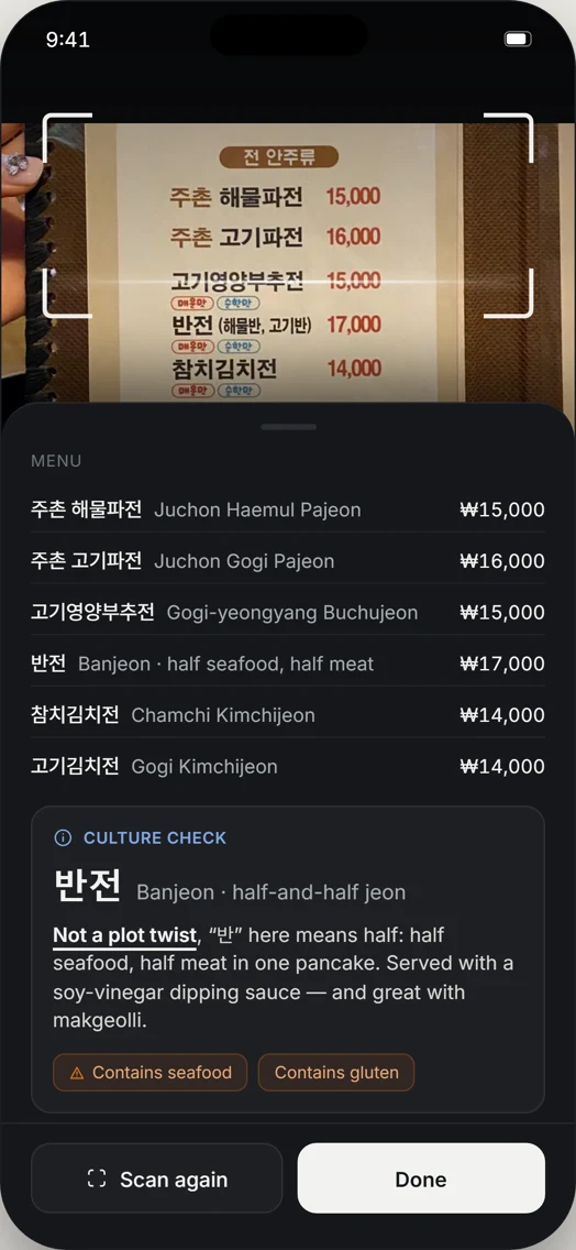
Sillim Line to Gwanaksan Station, Exit 1, then walk 50 m. The 632 m peak that's the easiest of Seoul's serious mountains. 3.5-5 hours round-trip.
k.ride is Kakao Mobility's foreigner taxi app, Visa accepted, no Korean number, English chat. Setup takes 2 minutes. The Seoul-only catch is below.
Eorimok trail on Hallasan needs no summit reservation — 4.7 km to Witseoreum at 1,700 m, car-free via Bus 240 from Jeju City. Winter Snow Flower Bus covered.
Winter hiking in Korea: when to use crampons or microspikes, when to turn back, and how to plan Seoraksan by bus without risky timing.
Compare Jeju Olle and Hallasan for car-free hikers: Seongpanak bus 281, Baengnokdam reservations, Olle endpoint returns, and official checks.
Compare two Busan hikes, Geumjeongsan and Igidae, for no-car travelers using official transit, trail-control, weather, and return-bus checks.
Plan your Changdeokgung Secret Garden reservation: Huwon ticket times, online and on-site tickets, fees, card rules, subway access, and late-entry rules.
Compare the best hikes in Korea, from Seoul’s Bukhansan to Seoraksan’s rock views and Jeju’s Hallasan summit, with routes, transit, and cautions.
Plan a Bukhansan hike to Baegundae from Seoul: compare routes, trailhead details, transport caveats, parking, fees, controls, and safety tips.
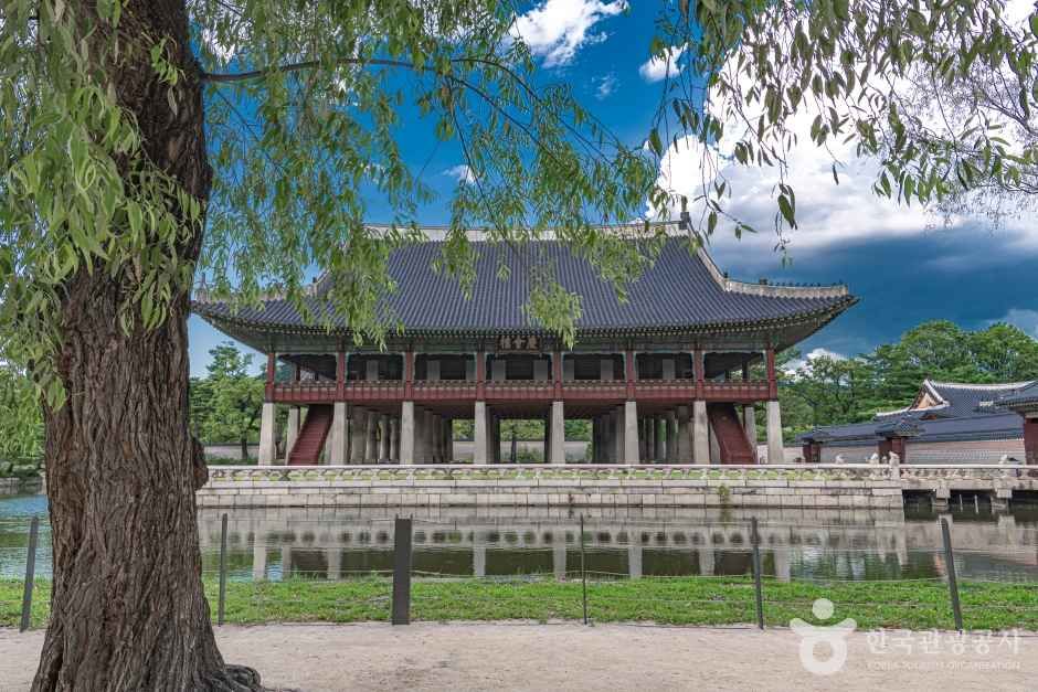
Use this Gyeongbokgung Palace guide for changing ceremony times, hanbok free entry, seasonal hours, Tuesday closure, subway exits, and English tours.
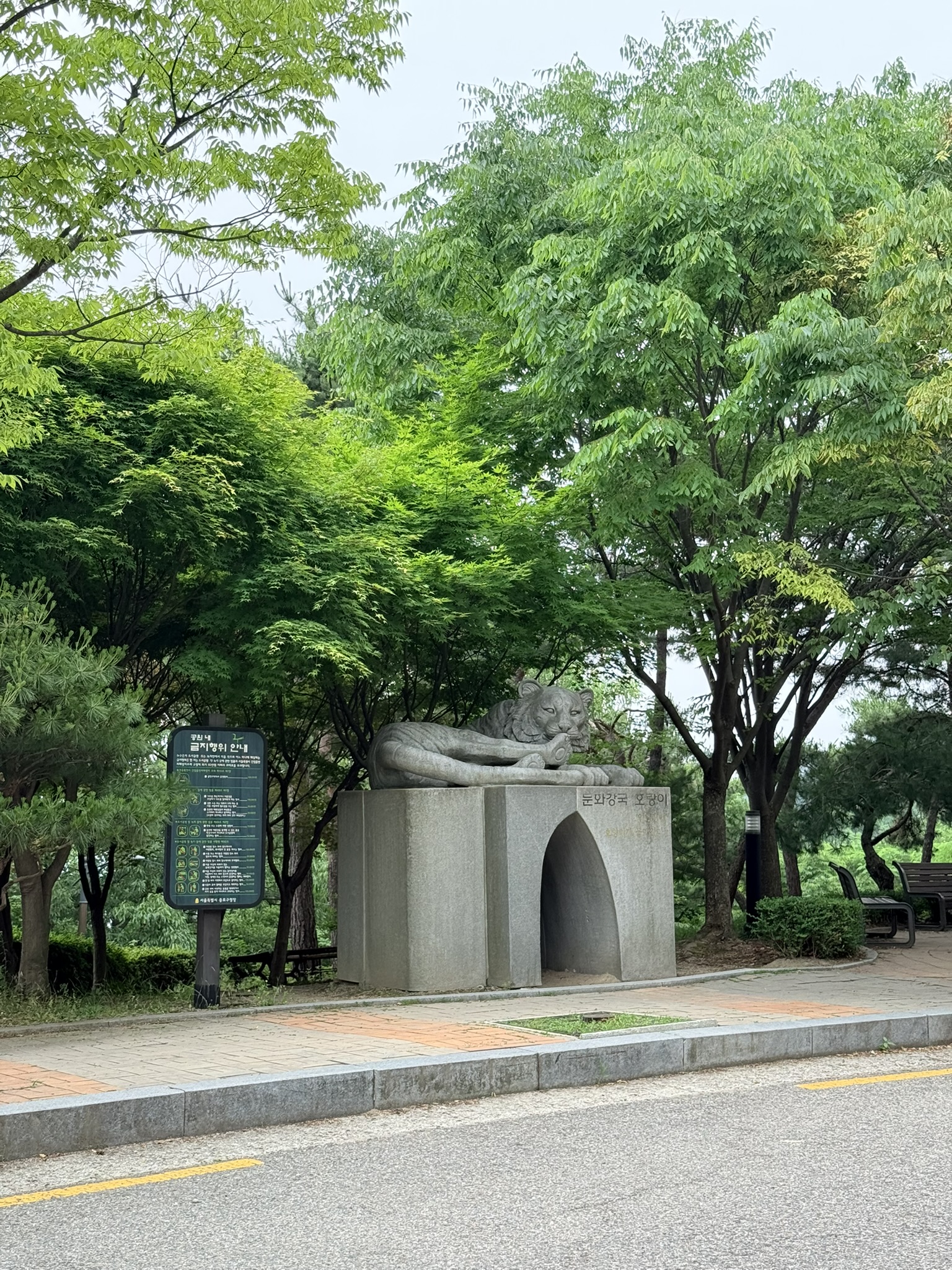
Rainy-day Inwangsan hike (인왕산) from the tiger trailhead along Seoul's Hanyangdoseong city wall to the 338.2m summit. Subway-accessible, no car needed.
Bugaksan hiking trail on Seoul's city wall: Malbawi to Changuimun route, Sukjeongmun gate, 342m summit, and military-zone rules explained for foreign hikers.
Jeju Olle Route 6 English guide: free Saturday walks from Soesokkak led by English-speaking volunteers. Book via Facebook, 9:30 AM start, 11 km, beginner-OK.
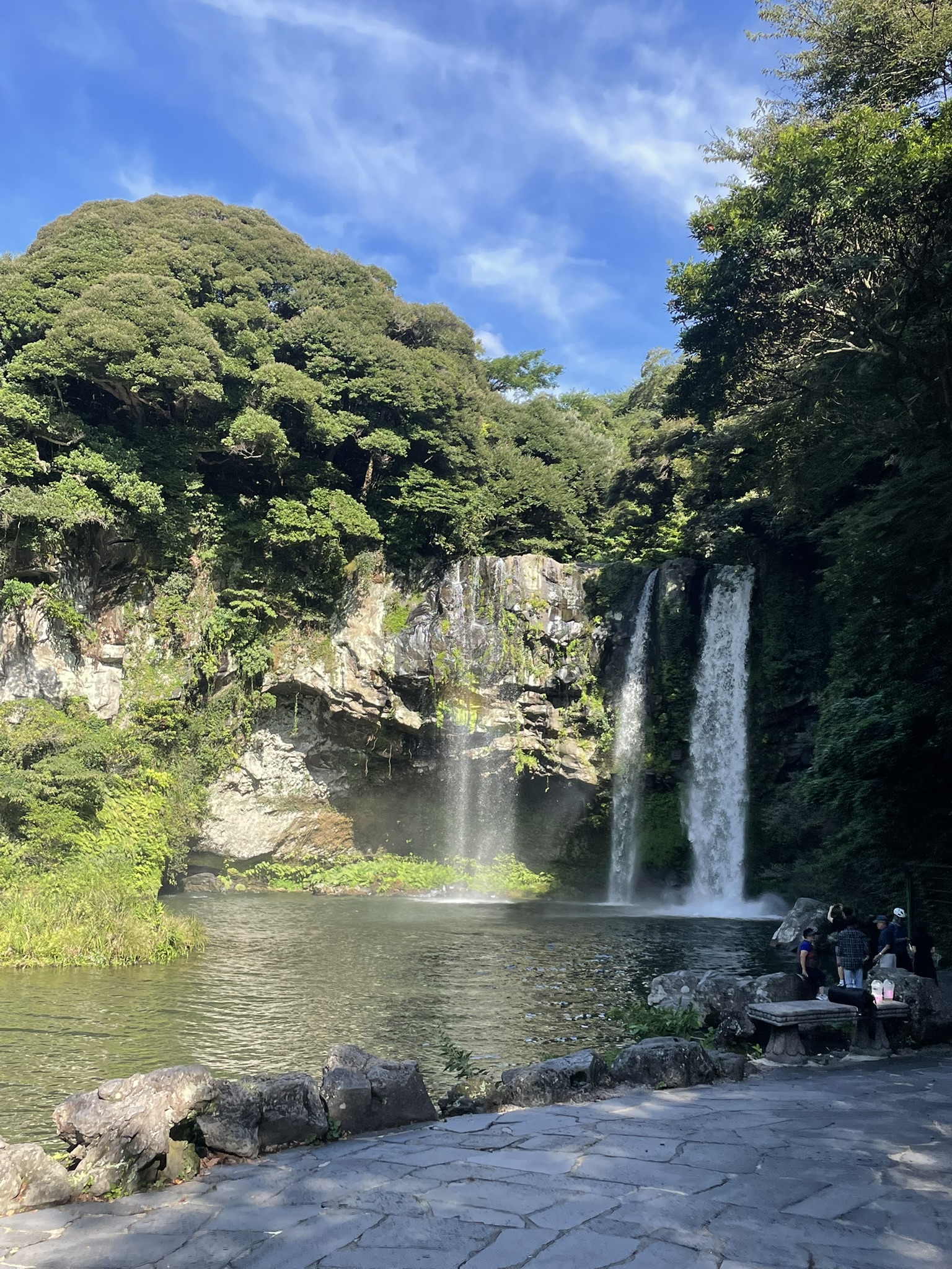
Three waterfalls in Seogwipo without renting a car — Jeongbang and Cheonjiyeon are a 10-minute walk apart downtown; a bus connects Cheonjeyeon in Jungmun.
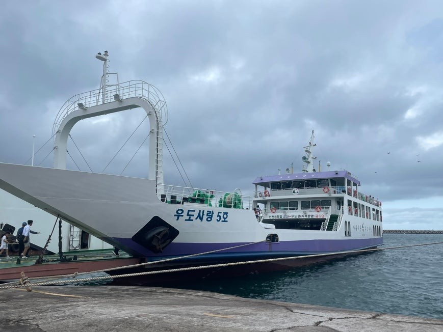
Jeju family trip itinerary across Udo Island, Seongsan Ilchulbong, Cheonjiyeon Falls, and Bijarim Forest — a four-person, two-day circuit with practical tips.
Gwakji Beach, Hallim Park, Saebyeol Oreum, and the 1100 Highland — a full Jeju Island west coast day route for families of four, plus black pork dinner.
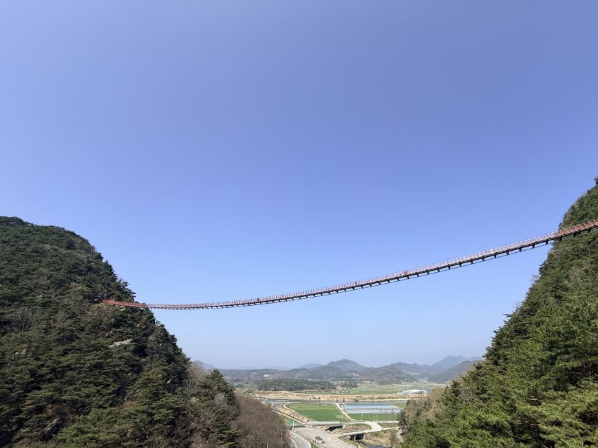
Chaegyesan Suspension Bridge in Sunchang spans 270 meters between two forested ridges — free entry, under an hour, and easy for families.
Yonggwolsan Sky Trail in Sunchang (순창) runs 1,300 deck stairs above the Seomjin River — a family-manageable cliff hike in North Jeolla Province with practical tips.
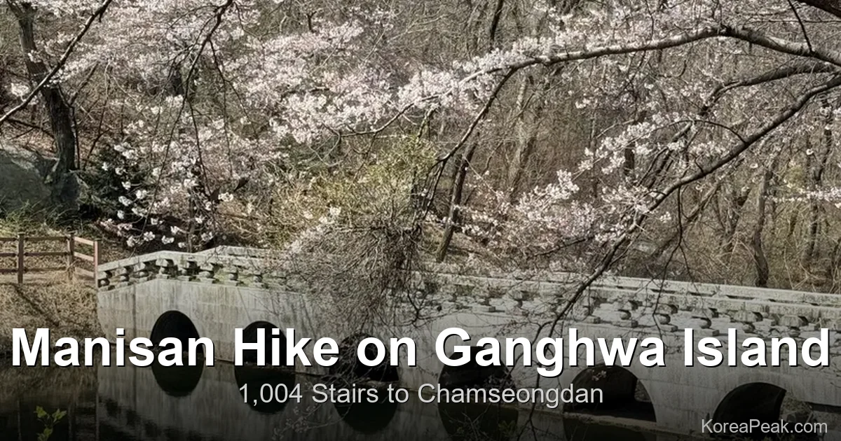
The Manisan hike on Ganghwa Island climbs the 1004 Stairs route to Chamseongdan, a 472 m altar on Korea's BAC 100 list, with a 4.5 km round trip in about 2.5 to 3 hours.
10 km loop from Donghaksa to Gwaneumong (Black Yak 100 stamp). KTX to Daejeon, then Bus 107. The Janyeonseongneung boardwalk is the reason to come.
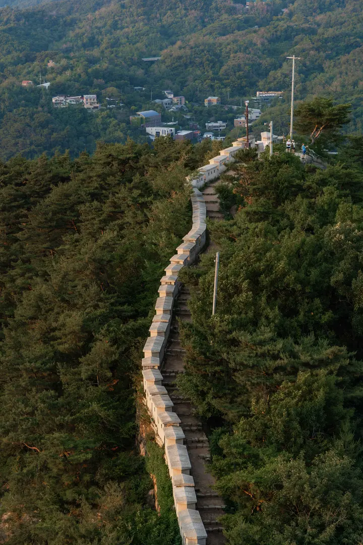
2.5 km along Seoul's old fortress wall, finishing with Gyeongbokgung + N Seoul Tower in one frame. Honest take on whether it beats Bukhansan.
Seoksu Station Line 1 to Hoamsan in 10 minutes, a 393 m peak with Seoul views and almost no crowds on weekdays. Skip the famous Gwanaksan crowds.
Sadang Station Exit 4 to Yeonjudae: 4.5 hours, fixed ropes on the ridge, Seoul skyline the whole way up. Bring gloves. Skip if you don't like exposure.
KTX to Cheonan-Asan, 20-min taxi, then a 3-hour loop with 568 numbered steps. The easy 699 m peak that ends with Cheonan walnut pastries.
Kakao T's card registration needs a Korean number, but Pay-to-Driver doesn't. Here's the menu path, the fare math, and when to use Blue vs Regular.
Naver Map's KTX booking is locked to Korean IDs. The fix: use Naver to check schedules, then book on Trip.com or Klook with a foreign card.
Stop screenshotting cafes. Naver Map's color-coded folders + receipt reviews are how locals plan a Korea week. Setup, mistakes, and a 5-stop sample day.
Train direction, transfer car [3-1], best exit, three Naver Map details that cut your Seoul subway transfer from 12 minutes to 2. Plus T-money tap-off.
Google Maps walking directions don't work in Korea. Here's the Naver Map English-language setup, the phone-number search hack, and the offline-map trap.